South Queensferry to Slateford
Walk Metadata
Attribute |
Value |
|---|---|
Difficulty |
Low to moderate. The ascent to Corstorphine Hill is easy, but if you have bad knees, you might find a hiking pole useful for the descent. |
Distance |
21 km |
Duration |
4.5 - 5.5 hours |
Elevation Gain |
160 m - top of Corstorphine Hill |
Terrain |
Water of Leith walkway, urban paths, parkland |
Can be done by public transport |
Yes |
Getting There
Start: South Queensferry
Train: Dalmeny station on the Fife Circle Line (limited service)
Bus: Lothian buses 43 from Edinburgh to South Queensferry
End: Slateford
Train: Slateford Station on the Edinburgh-Glasgow line (frequent service)
Bus: Lothian buses 4, 34, and 44 from Slateford to Edinburgh city centre
Route
Section Walked |
Distance |
Date Walked |
|---|---|---|
South Queensferry to Clermiston |
13 km |
18-AUG-2025 |
Clermiston to Slateford |
8 km |
5-SEP-2025 |
Description
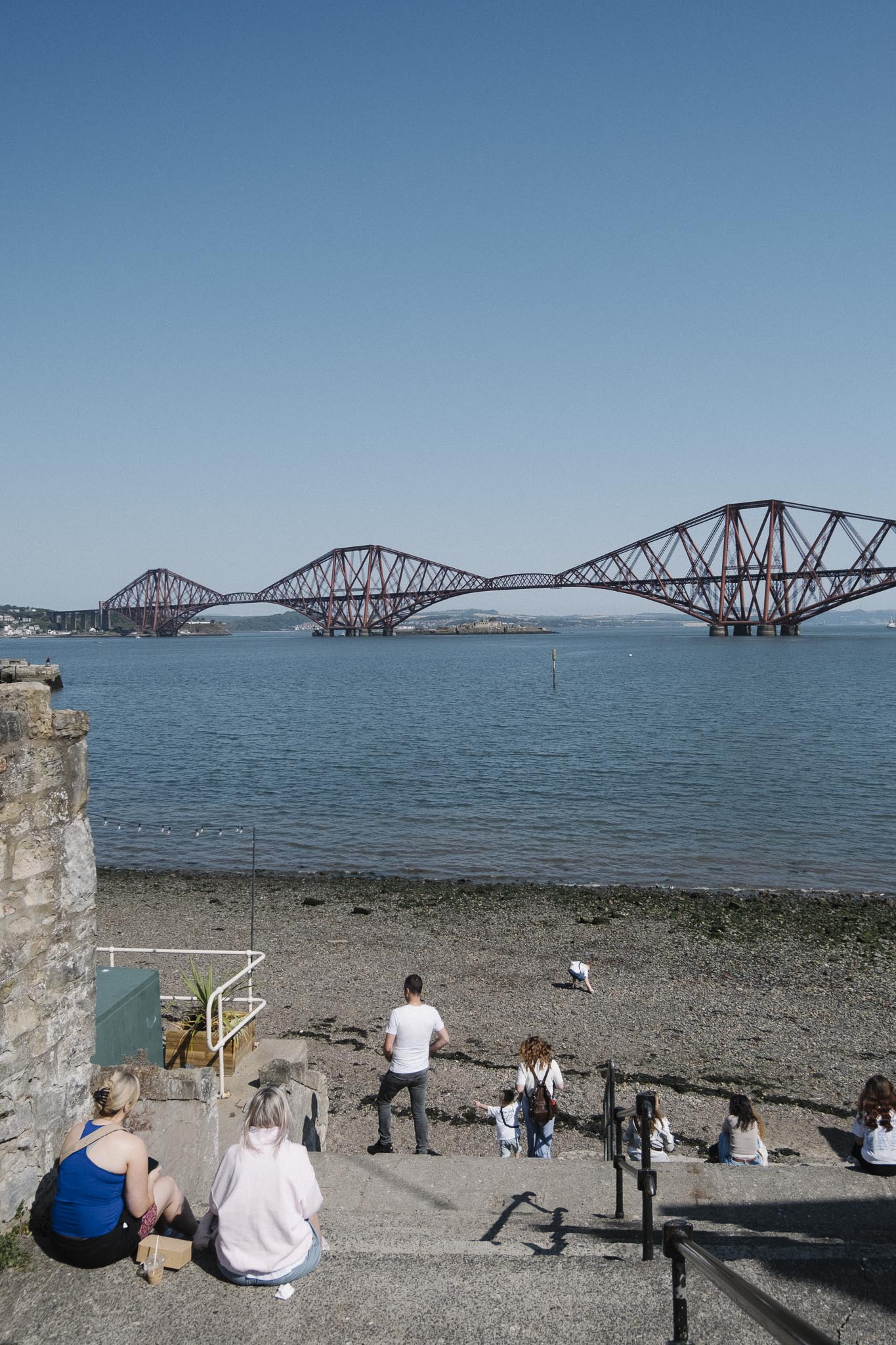
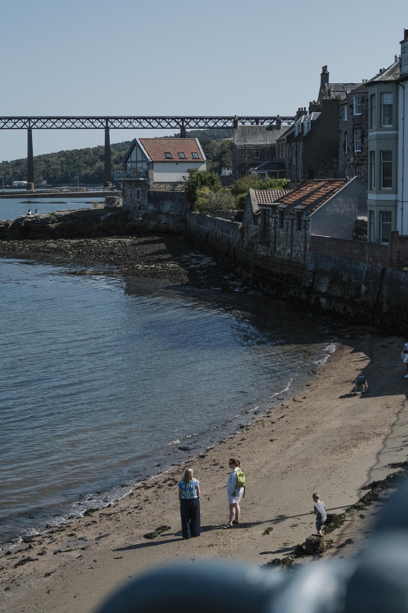
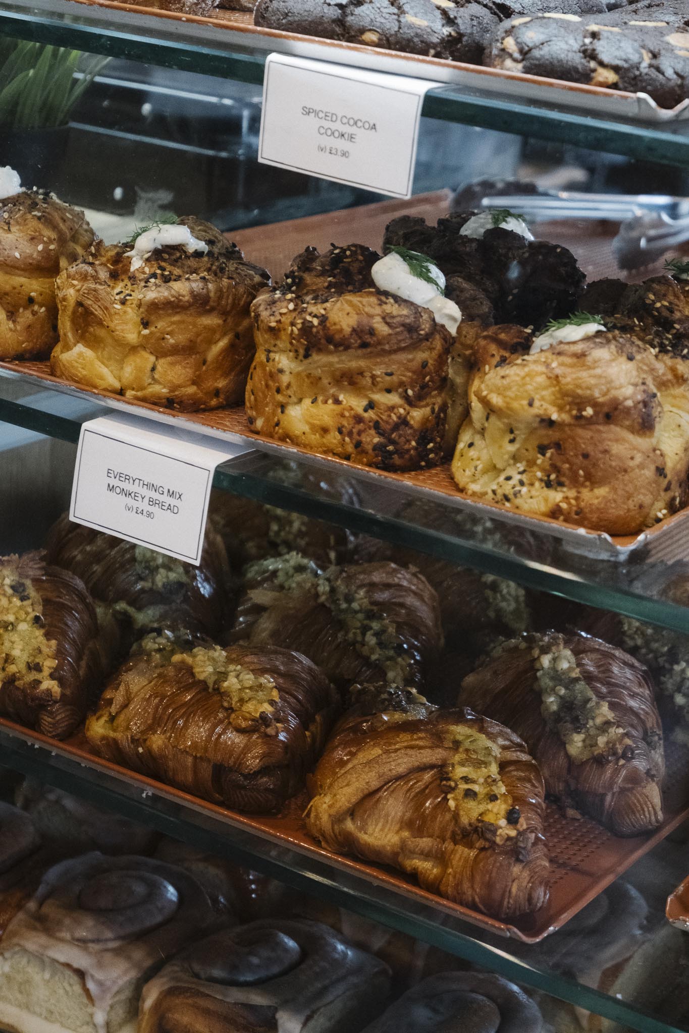
Start in South Queensferry: We began our walk in the charming coastal town of South Queensferry, where local bakeries offer fresh pastries before we set off. From the bus stop, we headed east, passing the historic Hawes Inn and the impressive monument beneath the towering, rust-red Forth Bridge.
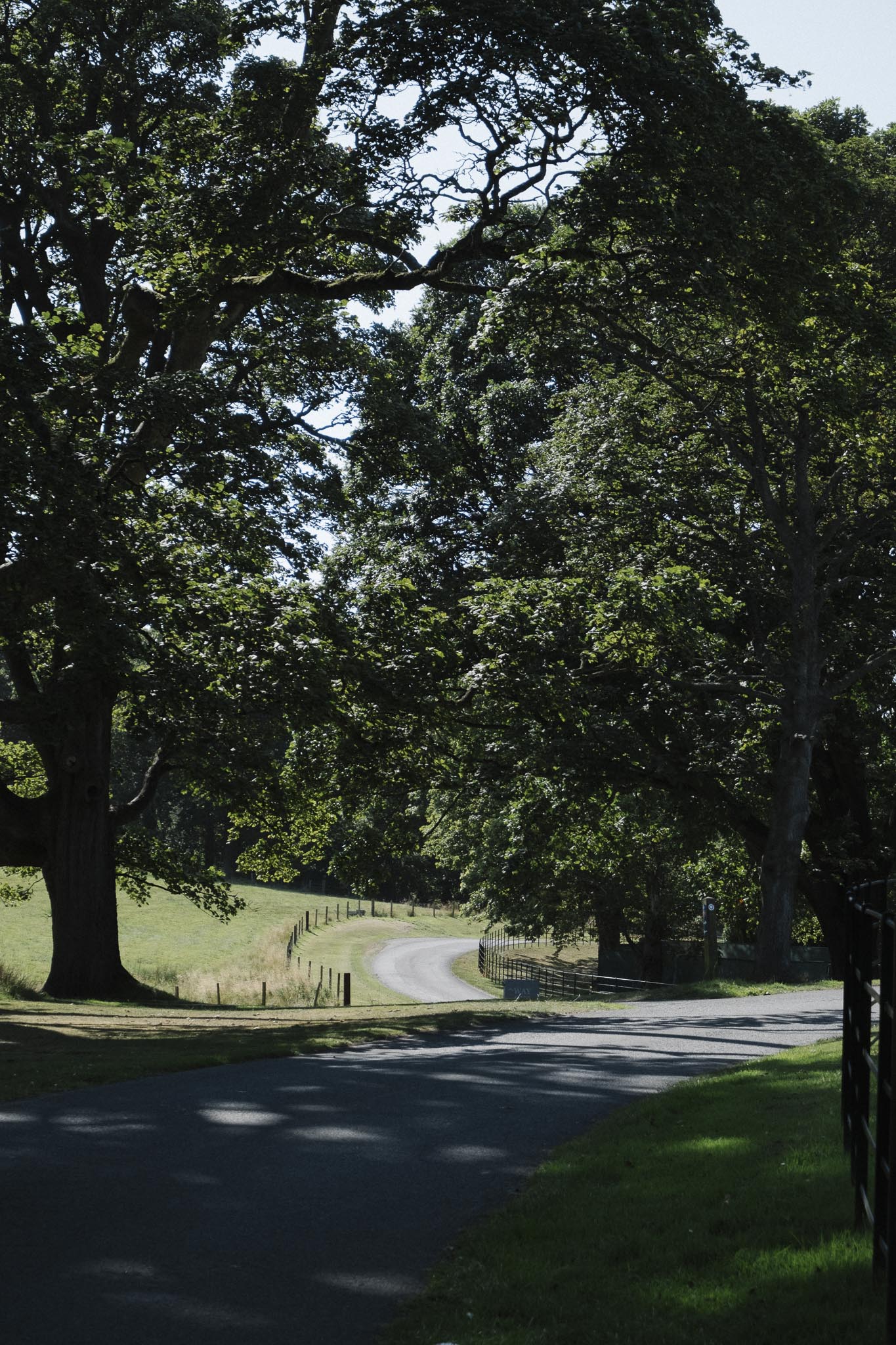
Roseberry Estate and Dalmeny House: The route took us through the picturesque Roseberry Estate (also known as Dalmeny Estate), featuring scenic coastal terrain with diverse seasonal features—from spring bluebells to autumn foliage. We passed the impressive Dalmeny House before continuing toward the village of Cramond.
Through Cramond to Barnton: We walked across the old stone bridge to Cramond, an affluent conservation village. The route continued through the quiet neighbourhoods of Barnton, passing Davidson’s Mains Park before reaching Clermiston, a useful break point.
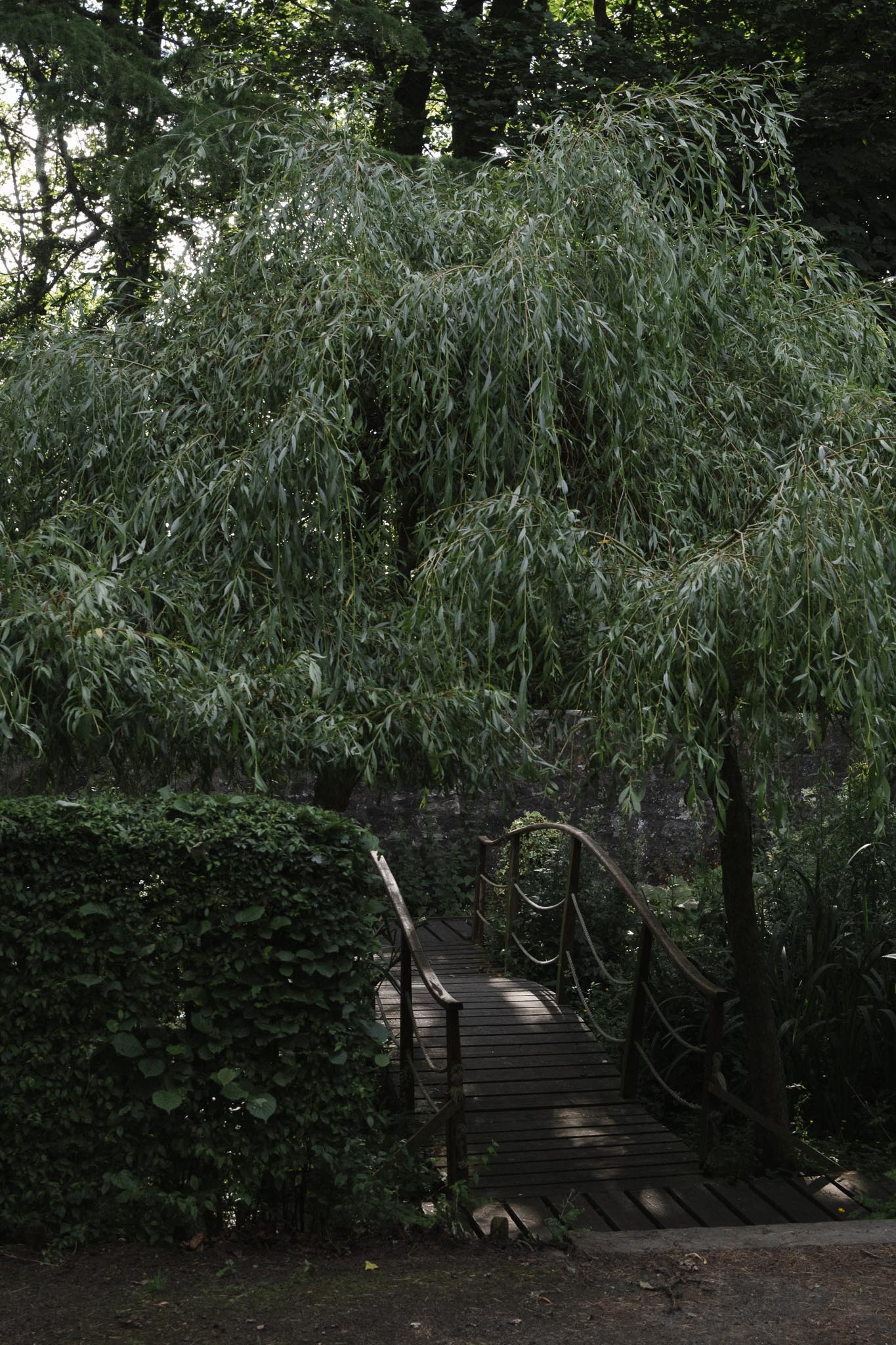
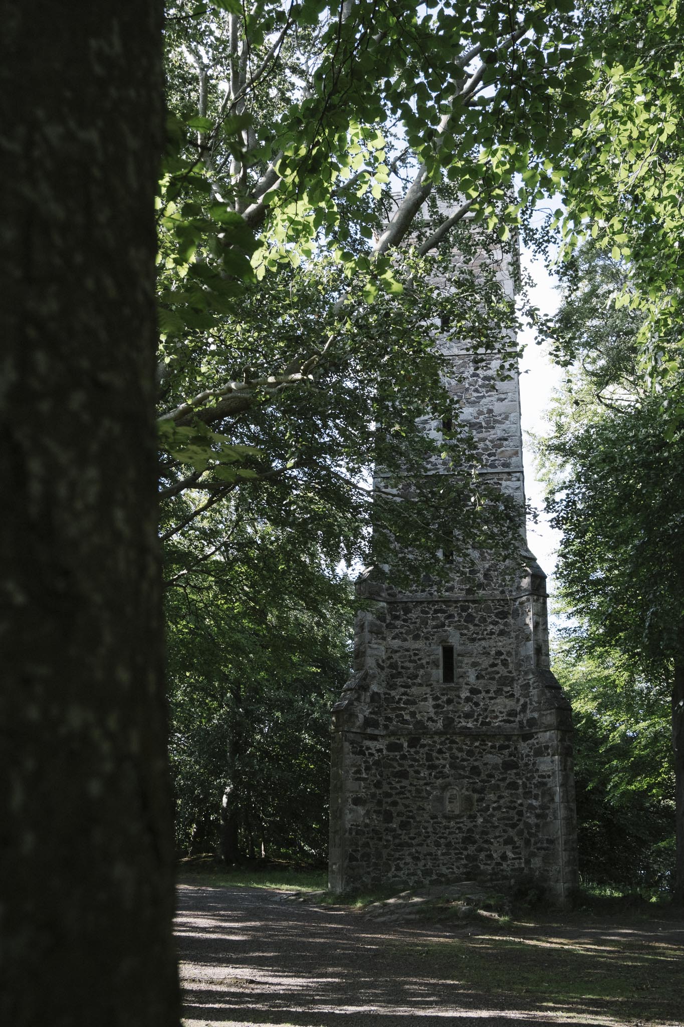
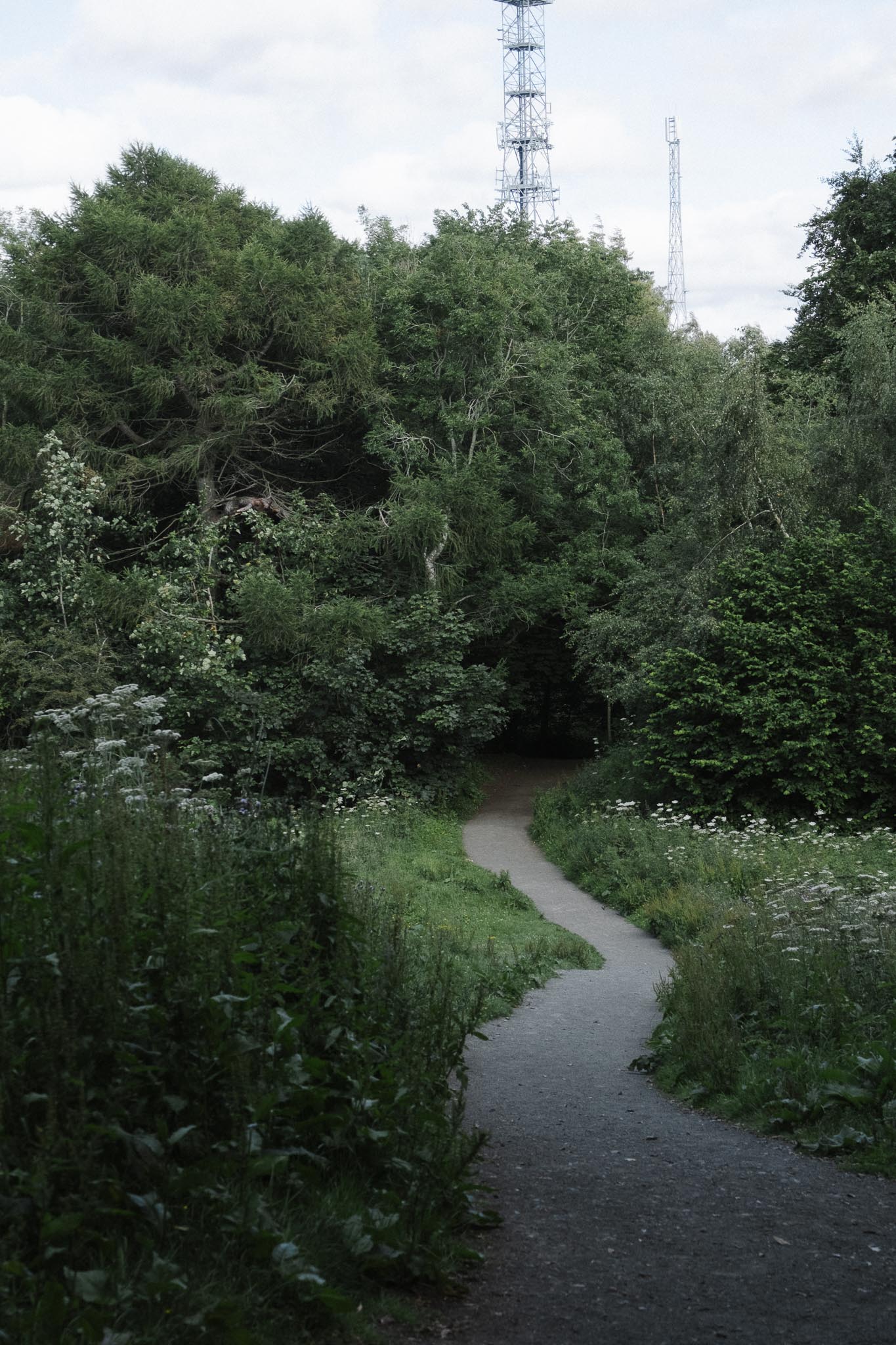
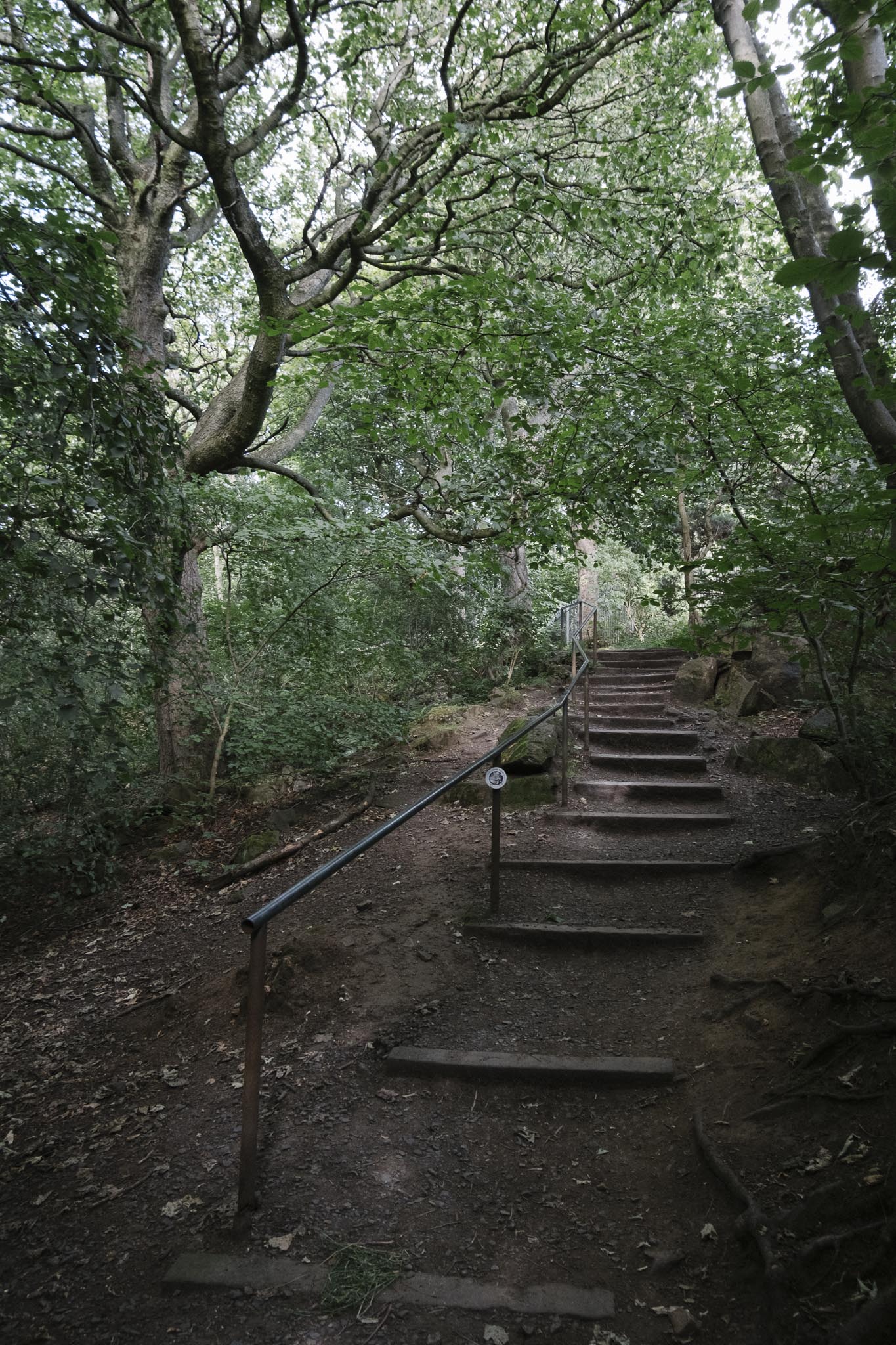
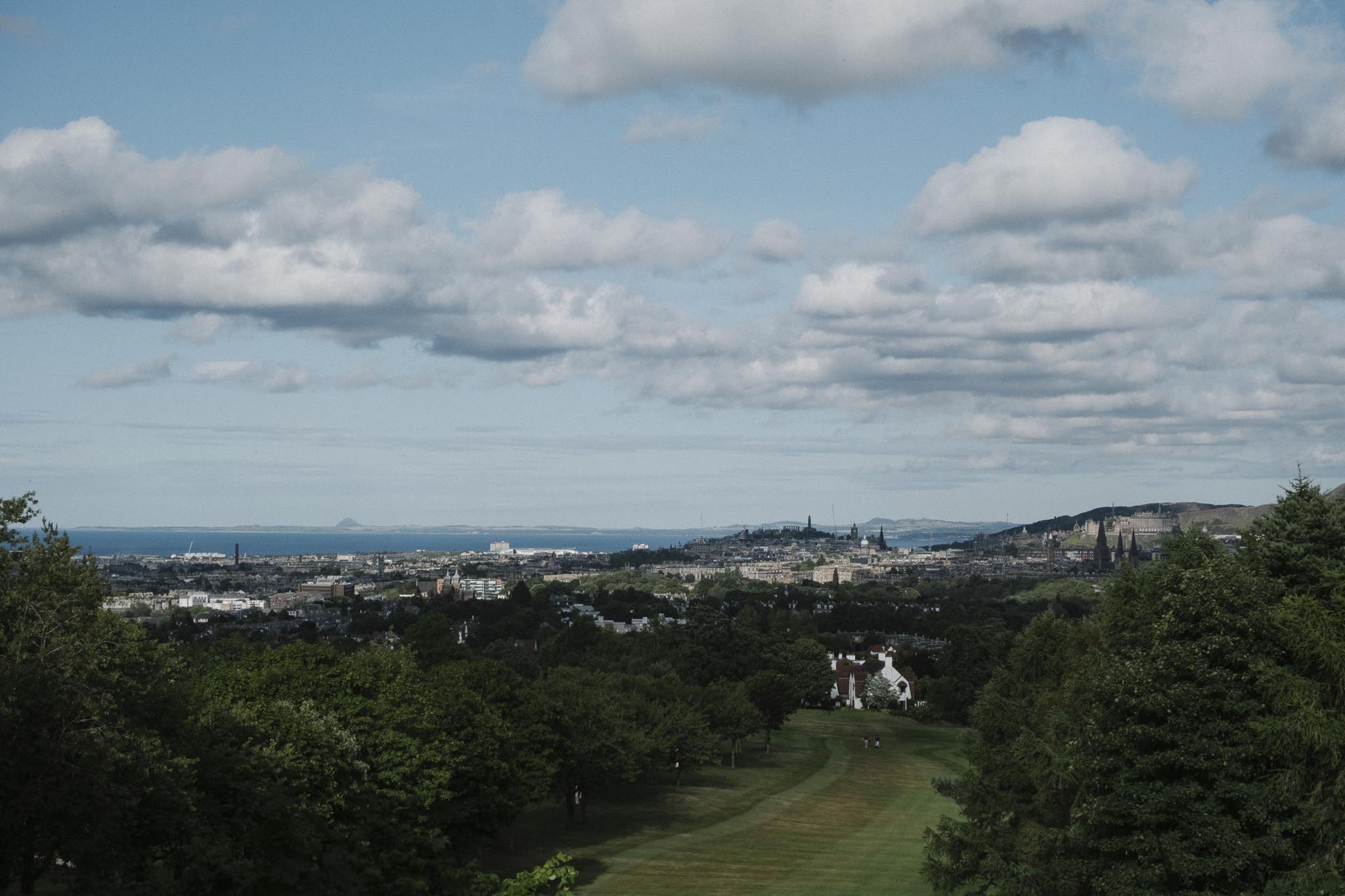
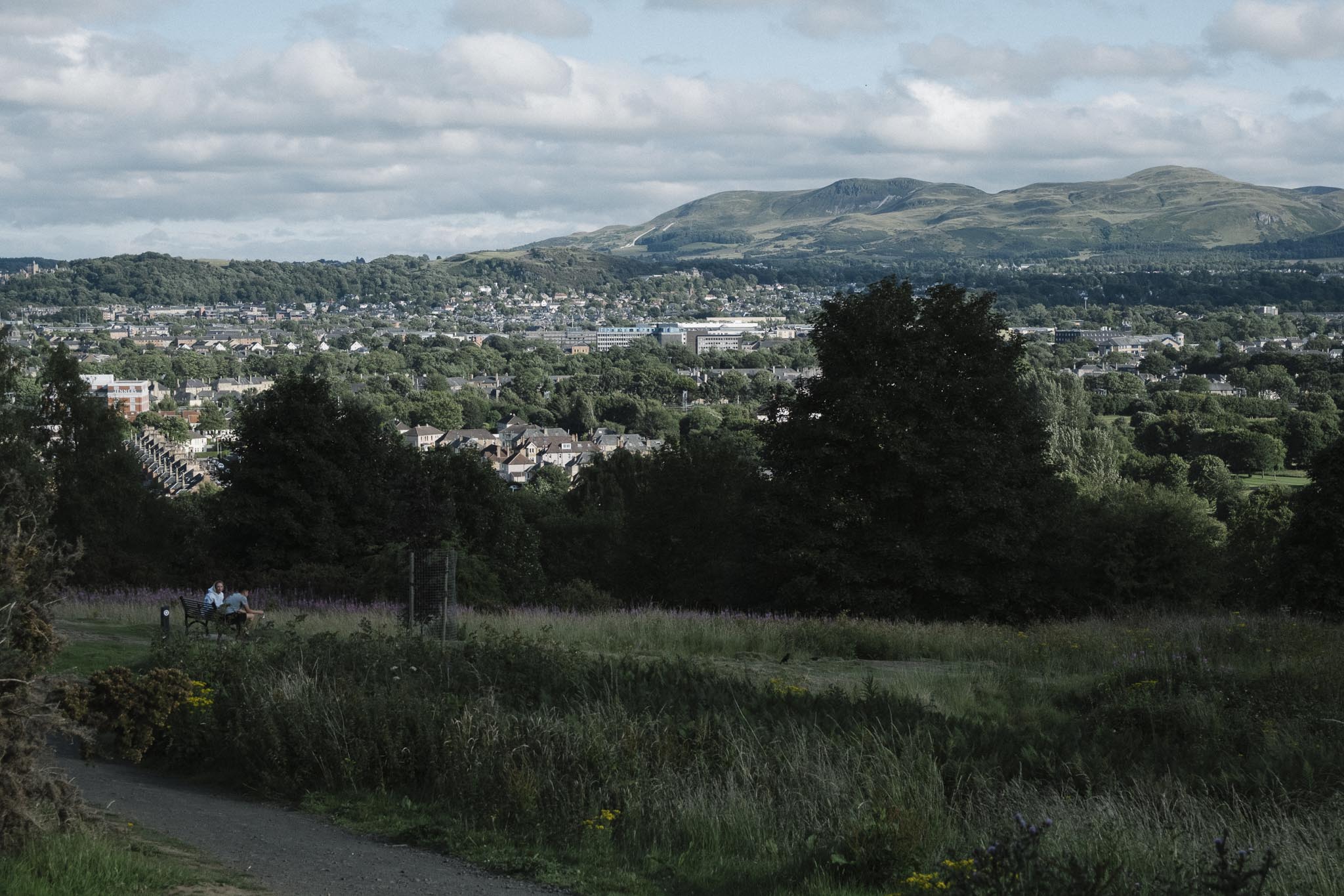
Corstorphine Hill Ascent: From Clermiston, we ascended Corstorphine Hill, one of Edinburgh’s seven hills and one of the highest points on this section of the John Muir Way. The climb is easy with gentle inclines, though the descent requires caution if you have knee concerns. From the summit, we enjoyed panoramic views of Edinburgh Castle and the Pentland Hills. You can stop for a breather in the lovely walled garden at the foot of the hill.
Descent and Edinburgh Zoo: We descended past Edinburgh Zoo and skirted Carrick Knowe Golf Course, beginning the transition from urban highlands to the shaded Water of Leith corridor.
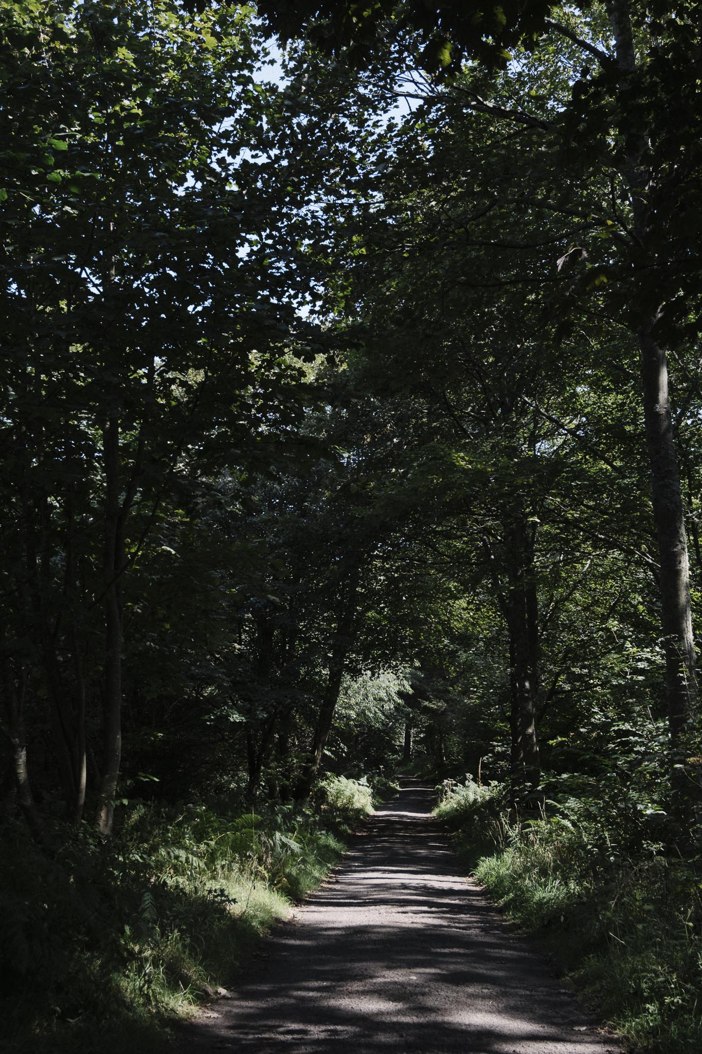
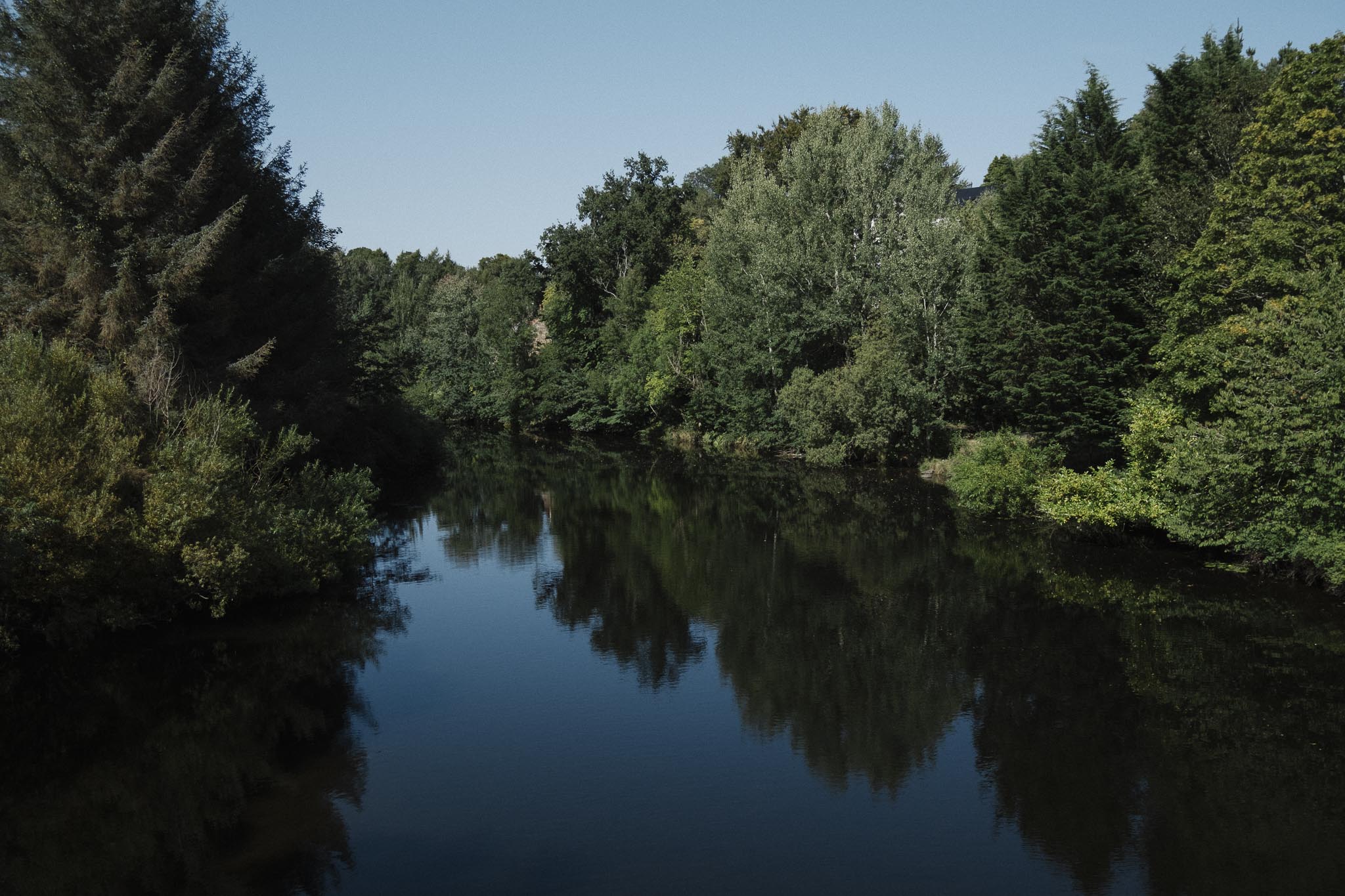
Water of Leith to Slateford: The final stretch followed the tree-lined Water of Leith waterway, one of Edinburgh’s natural gems. We passed through Saughton Park with its excellent facilities and peaceful parkland before reaching our journey’s end at Slateford.
This wonderfully varied 21 km walk combines semi-rural coastal landscapes with urban Edinburgh, offering diverse terrain from picturesque estates to river corridors, with excellent signage and public transport connections throughout.
Historic Sights
Along the way, you’ll pass several notable landmarks:
Forth Bridges Viewpoint - Spectacular views of the iconic Forth Rail Bridge, Forth Road Bridge, and Queensferry Crossing
Notes
Cafes, Restaurants, Pubs, and Grocery Shops:
Excellent cafes and eateries in Queensferry. We love
Dune Bakery,Manna Cafe, andRogue Bros.Miller and Carter Steak Housein CramondCafes such as the
Bonnie Baristanear Saughton Park
Public Toilets: Available in South Queensferry near the waterfront. Options along the route include the toilets at Saughton Park and Water of Leith visitor centre.
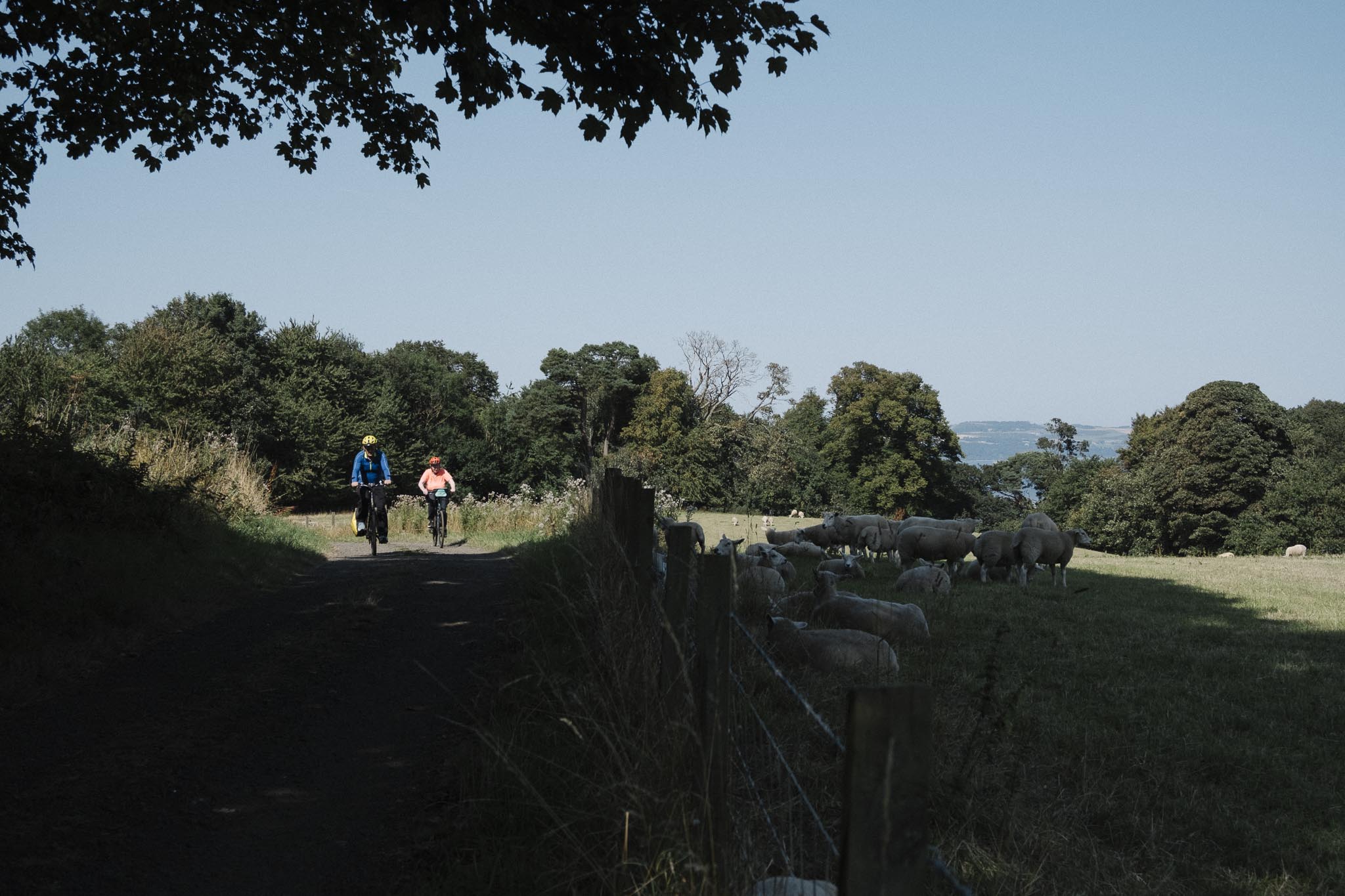
Safety: Shared towpath with cyclists - stay alert and keep to the left. Some sections can be muddy after rain.
Wildlife: Look out for kingfishers, herons, swans, and various waterfowl along the canal.
Weather: The route is exposed in places, so bring appropriate clothing for wind and rain.
Photography: Excellent photo opportunities of the Forth bridges, especially at sunrise or sunset.
Photos